Introduction To Geographic Information System In Qgis
Introduction To Geographic Information System In Qgis
MP4 | Video: h264, 1920x1080 | Audio: AAC, 44.1 KHz
Language: English (US) | Size: 2.61 GB | Duration: 4h 33m
MP4 | Video: h264, 1920x1080 | Audio: AAC, 44.1 KHz
Language: English (US) | Size: 2.61 GB | Duration: 4h 33m
Become proficient in Geographic Information (GIS) in QGIS for vector & raster data analysis, learn fundamentals in QGIS
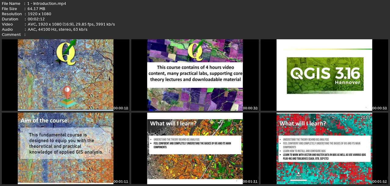
What you'll learn
Learn step by step about QGIS using the latest long-lasting release in 2022
Learn how to work with and manipulate GIS data (vector and raster data)
Understand the basic and intermediate GIS concepts and analysis
Learn how to create beautiful maps in QGIS
Learn the core GIS operations on vector and raster layers
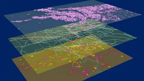
Analyze spatial data using QGIS
Learn how to work on geospatial projects in QGIS environment step-by-step
Requirements
Interest in the topic
A working PC with internet connection
Description
Discover the World with QGIS: Mastering GIS AnalysisWelcome to an exciting journey into the world of Geographic Information Systems (GIS) with QGIS! In this course, we'll dive deep into the fundamentals of practical GIS analysis, empowering you to harness the true potential of geospatial data.Unlock Your GIS SuperpowersOur comprehensive course equips you with the theoretical knowledge and hands-on skills needed to embark on GIS adventures. From grasping the core concepts of GIS to becoming proficient in QGIS, the premier open-source GIS software, we've got you covered.Stay Cutting-Edge with QGIS 3.16We don't just stop at the basics. You'll learn how to leverage the latest QGIS 3.16 release, enabling you to seamlessly integrate satellite imagery and tackle remote sensing projects with confidence.By the end of this course, you will:- Master the Theory Behind GIS Analysis- Navigate QGIS like a Pro- Effortlessly Install and Configure QGIS- Manipulate Vector and Raster Data- Harness QGIS Plugins and Toolboxes (SAGA, OTB, SCP, and more)- Perform Advanced Vector and Raster Analysis- Create Stunning GIS Maps for Reports and BeyondWhether you're a geographer, programmer, social scientist, geologist, or an expert in any field that relies on maps, this course is tailor-made for you. It's perfect for anyone eager to dive into geospatial analysis and satellite remote sensing using the QGIS platform.Hands-On Learning at Its BestOne highlight of this course is the hands-on practical exercises. You'll receive step-by-step guidance, downloadable materials, scripts, and datasets to craft maps and conduct geospatial analysis within QGIS. It's learning by doing, making your GIS skills concrete and applicable.Don't miss this opportunity to become a GIS analysis maestro. Join us on this exciting journey through the world of geospatial data, and unlock a whole new realm of possibilities with QGIS.
Who this course is for:
Anyone who is interested in get started with GIS and QGIS and would like to learn project-oriented GIS analysis
Introduction To Geographic Information System In Qgis