

ESRI ArcGIS Desktop 9.0
ESRI ArcGIS Desktop 9.0 | Windows | Size: 576,5 MB
ArcGIS Desktop is a collection of software products that runs on standard desktop computers. It is used to create, import, edit, query, map, analyze, and publish geographic information. There are four products in the ArcGIS Desktop collection; each adds a higher level of functionality.
ArcView provides extensive mapping, data use, and analysis along with simple editing and geoprocessing capabilities.
ArcEditor includes advanced editing for shapefiles and geodatabases in addition to the full functionality of ArcView.
ArcInfo is the full function, flagship GIS desktop. It extends the functionality of both ArcView and ArcEditor with advanced geoprocessing. It also includes the legacy applications for ArcInfo Workstation.
All ArcGIS Desktop products share a common architecture, so users working with any of these GIS desktops can share their work with others. Maps, data, symbology, map layers, geoprocessing models, custom tools and interfaces, reports, metadata, and so on, can be accessed interchangeably. This means that all GIS users in an organization can benefit from using a single, consistent user interface and set of functionality and data formats, thus minimizing the need to learn and deploy several different products.
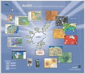
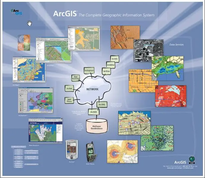
This "GIS-Monster" doesn`t need to be introduced, I guess :)
This is a full version, which includes
ArcMap
ArcMap is the central application in ArcGIS Desktop for all map-based tasks including cartography, map analysis, and editing. ArcMap is a comprehensive map authoring application for ArcGIS Desktop.
ArcCatalog
The ArcCatalog application organizes and manages all GIS information such as maps, globes, data sets, models, metadata, and services.
ArcToolbox
ArcToolbox contains a comprehensive collection of geoprocessing functions including tools for
- Data management
- Data conversion
- Coverage processing
- Vector analysis
- Geocoding
- Statistical analysis
- ArcToolbox is embedded in ArcCatalog and ArcMap and is available in ArcView, ArcEditor, and ArcInfo.
ArcGlobe
ArcGlobe, part of the ArcGIS 3D Analyst extension, provides continuous, multiresolution, interactive viewing of geographic information. Like ArcMap, ArcGlobe works with GIS data layers, displaying information from a geodatabase and all supported GIS data formats. ArcGlobe has a dynamic 3D view of geographic information. ArcGlobe layers are placed within a single global context, integrating all GIS data sources into a common global framework. It handles multiple data resolutions by making data sets visible at appropriate scales and levels of detail.
and others…
ISO
http://rapidshare.de/files/36695651/arcg9.part1.rar
http://rapidshare.de/files/36716152/arcg9.part2.rar
http://rapidshare.de/files/36782392/arcg9.part3.rar
http://rapidshare.de/files/36913406/arcg9.part4.rar
http://rapidshare.de/files/36918113/arcg9.part5.rar
http://rapidshare.de/files/36908070/arcg9.part6.rar
http://rapidshare.de/files/36812255/arcg9.part7.rar
http://rapidshare.de/files/36930084/ArcGis9xxx.rar
rar pass www.AvaxHome.ru
p.s. to get it full, follow the "readme" in the directory crack before install
Enjoy