

OkMap 9.3.6 Portable
OkMap 9.3.6 Portable | 20.3 MB
OkMap is an interactive software which allows you to work on your computer screen with digital maps that you have either bought or scanned. OkMap can also import vectorial data from the most common formats and DEM data relevant to height informations.
Through these maps, you can organize your paths by creating waypoints, routes and tracks on your computer monitor, and upload this data to your GPS. To make it easier, OkMap provides you also with autorouting and geocoding functions.
Data collected by your GPS can be downloaded on your computer, stored and displayed on the maps. They can also be used to create different types of statistics.
By connecting a GPS to your laptop, you can plot your position on maps in real-time. If you are connected to the network you can constantly send your position to a remote computer, or receive the position of your companions on your computer and display the related tracks on maps in real time.
OkMap can also interface Google Maps and Google Earth. With Google Maps you can get portions of maps immediately available in OkMap. With Google Earth you can view your paths and your maps also in 3D.
OkMap include a feature to generate automatically compatible "Garmin Custom Maps" (kmz format). This feature includes map tiling from and to different image file formats (including ECW map format). It’s possible select KML extensions 2.2 (if GPS supports them), the JPEG quality, the image resizing, the KML transparency, the draw order, and so on. You can also select the tiles to generate in output. This feature support "not north oriented" maps also.
General features
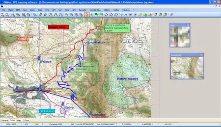
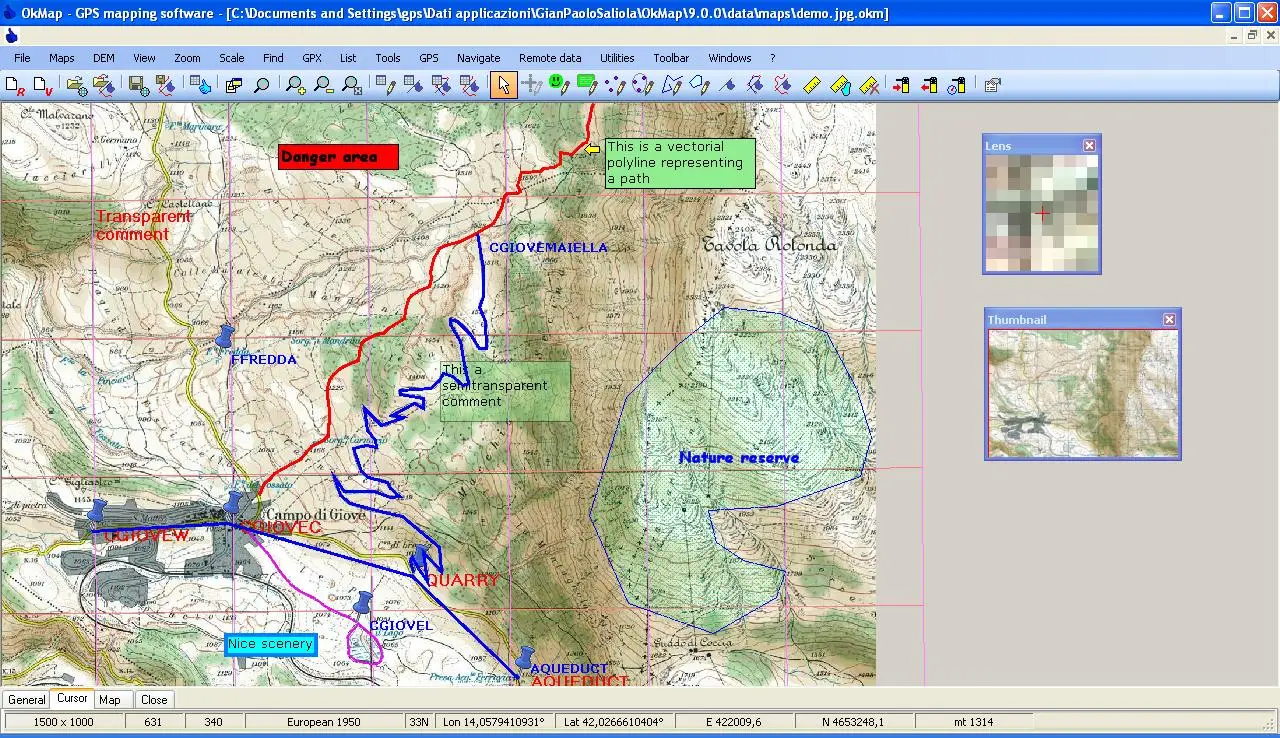
- Calibration / display raster maps (over 30 image formats)
- Display vectorial maps
- Display hybrid maps (raster + vectorial data)
- Ability to open multiple maps simultaneously
- 9 cartographic projections of the most used
- Database with over 500 predefined projections by geographic area
- Database with over 300 datum
- Viewing 3D raster maps on Google Earth (for supported image formats)
- Map add-ons management (icons, comments)
- Vectorial data management (point, multipoint, line, polygon)
- GPX data management (waypoints, tracks, routes)
- Selecting multiple objects with the mouse
- Context menu (right mouse)
- Auto-info function
- Zoom, autofit functions
- Moving map function in 3 modes
- Customizing toolbar
- Showing yes / no toolbar
- Showing yes / no statusbar
- Check new releases at startup
Home Page - http://okmap.org/