


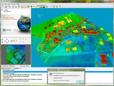
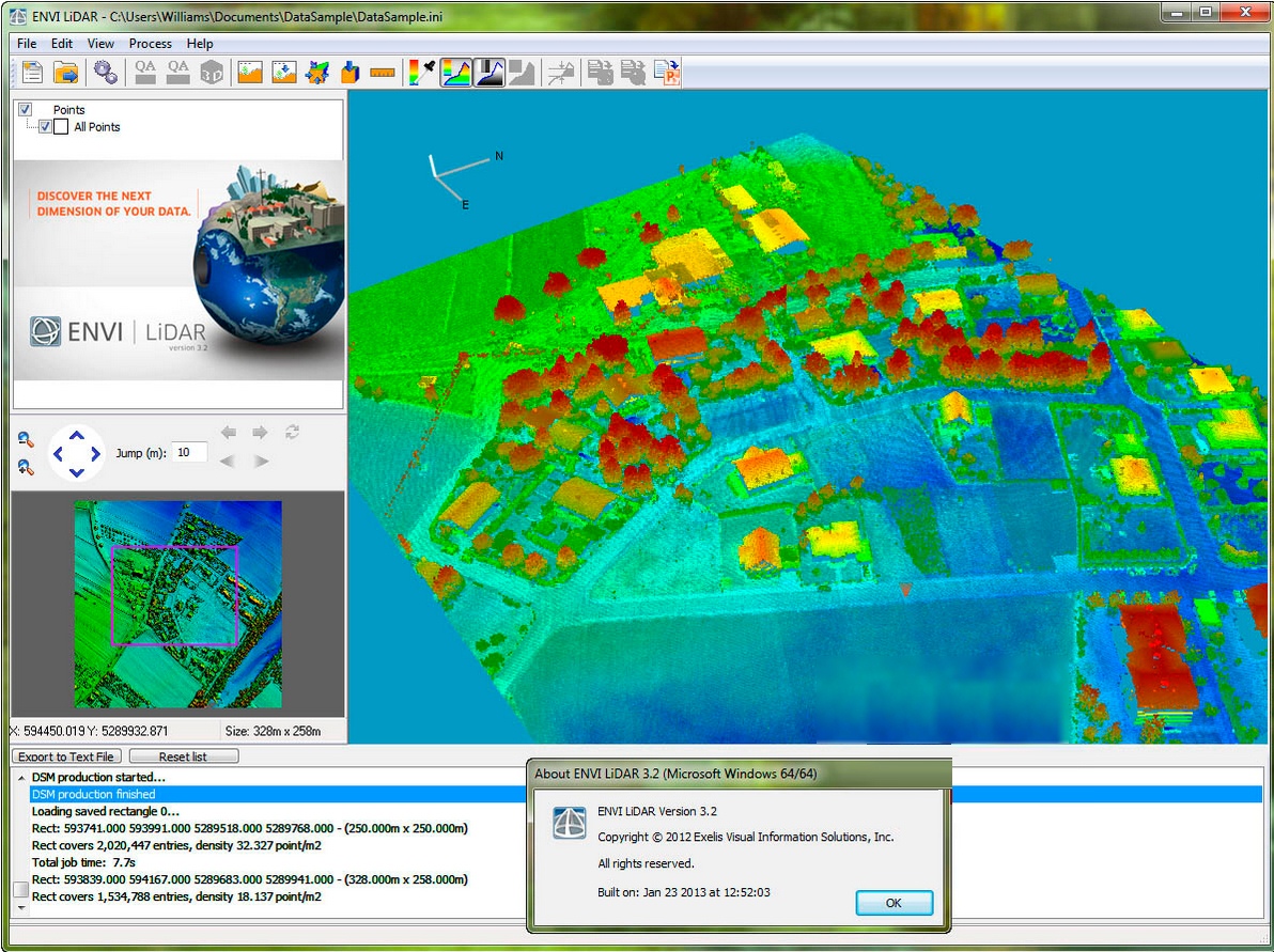
Exelis ENVI LiDAR (64bit) 3.2

Exelis ENVI LiDAR (64bit) 3.2 | 836.1 mb
ENVI LiDAR is an interactive geospatial software environment that allows you to create powerful, realistic 3D visualizations and easily extract important features and products from LiDAR point cloud data. The elevation information contained within LiDAR can be used to create Digital Elevation Models (DEMs), or be included in your geospatial products like line-of-sight or right-of way analyses. ENVI LiDAR can also be customized with the API to meet the unique needs of your organization.
What's New in Release 3.2: this
Exelis ENVI LiDAR (64bit) 3.2
About Exelis Visual Information Solutions
Exelis VIS Europe supplies industry leading software solutions, consultancy services, training and support to European geospatial imagery users in diverse industries. Operating through a network of European offices and authorised distributors, Exelis VIS Europe is wherever you are when you rely on Earth images to achieve your objectives.
For applications in Environmental Monitoring, Defence and Security, Urban Planning, Oil & Gas exploration and many more fields, Exelis VIS develops an innovative range of software solutions. ENVI, SARscape, ENVI LiDAR, IAS, and IDL all work together to allow you turn imagery into knowledge in the pursuit of your goals.
visit my blog
Name: Exelis ENVI LiDAR
Version: (64bit) 3.2
Home: www.exelisvis.com
Interface: english
OS: Windows XP / Vista / Seven
Size: 836.1 mb
Special Thanks LAVTeam
No mirrors please