


Lynda - GIS on the Web

Lynda - GIS on the Web | 746MB
Duration: 2h 08m | Video: AVC (.mp4) 1280x720 15fps | Audio: AAC 48KHz 2ch
Genre: eLearning | Level: Intermediate | Language: English
Duration: 2h 08m | Video: AVC (.mp4) 1280x720 15fps | Audio: AAC 48KHz 2ch
Genre: eLearning | Level: Intermediate | Language: English
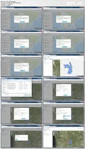
When graphical information systems (GIS) meet some of the world's most exciting web-mapping technology, such as Google Maps, you get richer, more interactive maps and better insights into your data. GIS on the web means using tools like Google Maps, Bing Maps, and Esri to create map mashups: multilayered visualizations that combine data from multiple sources. In this course, Jason VanHorn will show how to use these tools to analyze geodata and create interactive, mobile-ready maps that communicate your ideas better than ever before.
* Understanding map mashups
* Finding coordinates
* Mapping with Google Drive
* Geocoding with addresses and coordinates
* Merging data
* Analyzing your map
* Adding GIS layers from services or a file
* Working with the Google Maps, Bing Maps, and Esri APIs
* Sharing and publishing your work
* Finding coordinates
* Mapping with Google Drive
* Geocoding with addresses and coordinates
* Merging data
* Analyzing your map
* Adding GIS layers from services or a file
* Working with the Google Maps, Bing Maps, and Esri APIs
* Sharing and publishing your work
Lynda - GIS on the Web

No mirrors below please.