


ArcGIS Explorer Desktop: Your Complete Guide
ArcGIS Explorer Desktop: Your Complete Guide
English | 2016 | mp4 | H264 1280x720 | AAC 2 ch | 1 hr | 257 MB
eLearning, IT & Software, Other | Skill level: Beginner level
English | 2016 | mp4 | H264 1280x720 | AAC 2 ch | 1 hr | 257 MB
eLearning, IT & Software, Other | Skill level: Beginner level
Learn the ArcGIS Explorer Easy
Learn ArcGIS Explorer Desktop: Learn both the practical skills of how to use GIS data in ArcGIS Explorer platform with easy to follow video lectures and laboratory exercises.
This course provides overview on how to download, install, and use ArcGIS Explorer Desktop. Additionally, the course will give hands-on lab exercise on adding GIS data in ArcGIS Explorer, visualizing GIS data, localization of ArcGIS Explorer with multiple languages, and visualizing in 2D and 3D presentation.
No prior experience required. All are tailored such that anyone can follow them easily.
This course will provide you the necessary skills on how to use ArcGIS Explorer Desktop software to visualize and analyze your GIS data. At the end of this course, you will be able to add, visualize, and analyze GIS data in ArcGIS Explorer.
What are the requirements?
- No prior GIS knowledge is not required
- Some acquaintance with ArcGIS Explorer is helpful
What am I going to get from this course?
- Over 7 lectures and 1 hour of content!
- Obtain basic understanding of ArcGIS Explorer
- Learn how to download and install ArcGIS Explorer
- Add their own data in to ArcGIS Explorer
- Visualize Geospatial data in 2D and 3D
- Localize ArcGIS Explorer in multiple languages
- Access open source Geospatial data
What is the target audience?
- This course is for anyone who wants to use ArcGIS Explorer software
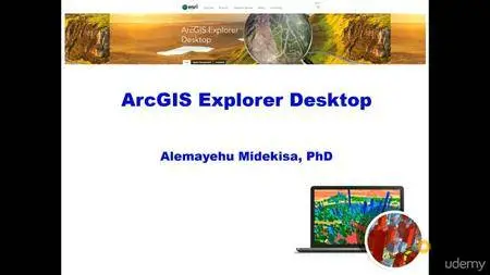
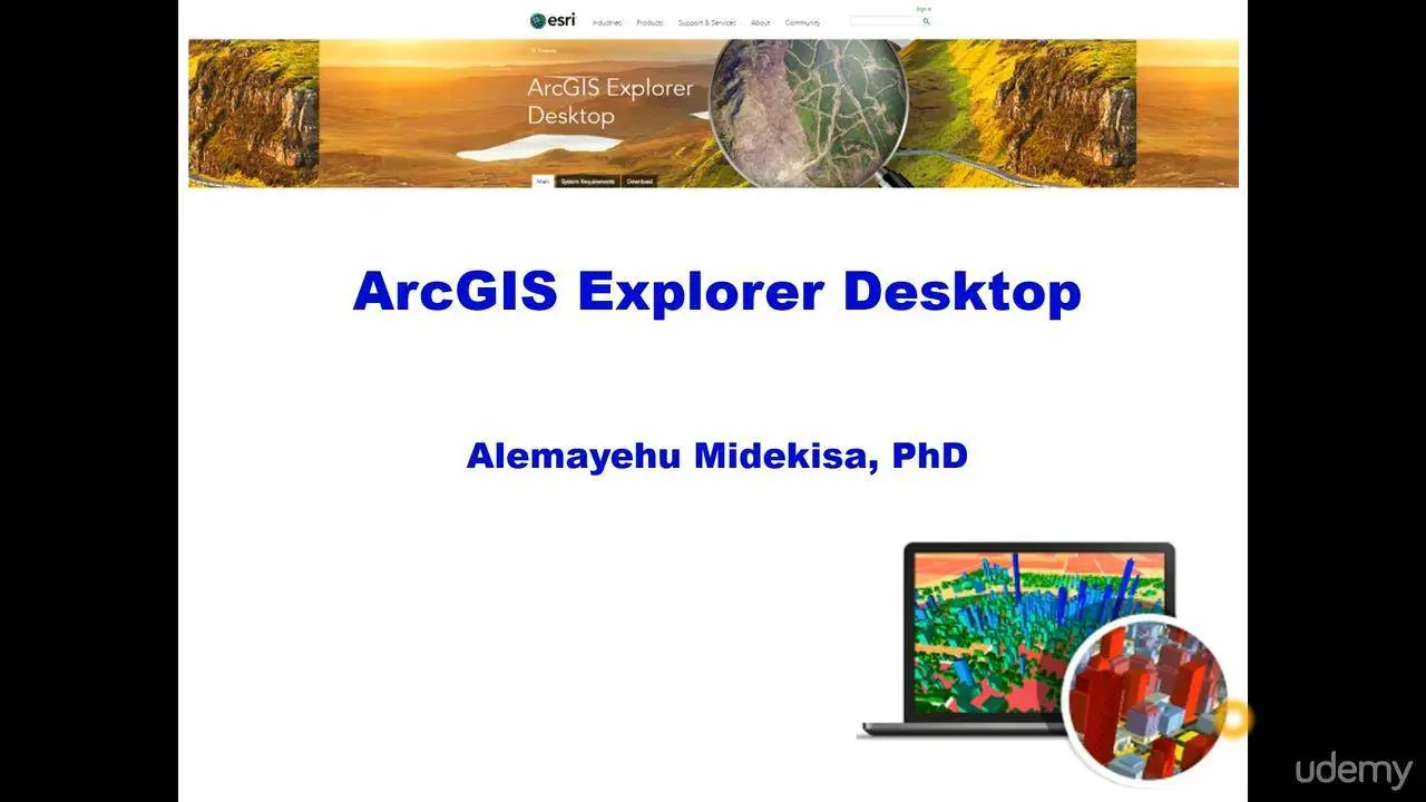
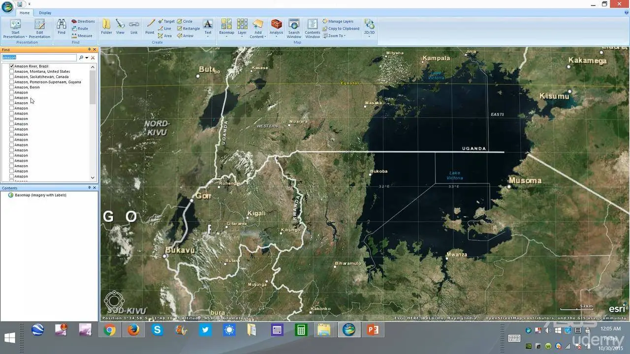
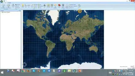
Screenshots:
ArcGIS Explorer Desktop: Your Complete Guide

ArcGIS Explorer Desktop: Your Complete Guide
ArcGIS Explorer Desktop: Your Complete Guide


ArcGIS Explorer Desktop: Your Complete Guide
